 Dansk
Dansk
Hirsch, Rebecca E.
(forfatter)
Using Physical Maps e-bog
359,43 DKK
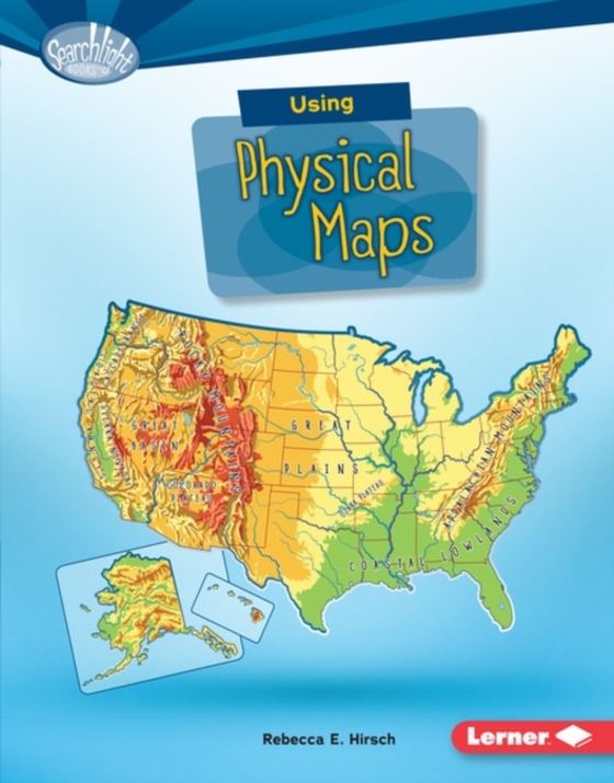
Have you ever wondered which countries have the most lakes? Or where the highest point in your state is? Physical maps show landscape features. They also often show land elevation, or how high the land is above sea level. But how do you use physical maps? And what do the different colors and symbols on these maps mean? Read on to learn all about physical maps!
E-bog
359,43 DKK
Forlag
Lerner Publications â„¢
Udgivet
01.08.2016
Genrer
Children’s / Teenage general interest: Places and peoples
Sprog
English
Format
pdf
Beskyttelse
LCP
ISBN
9781512410730
Have you ever wondered which countries have the most lakes? Or where the highest point in your state is? Physical maps show landscape features. They also often show land elevation, or how high the land is above sea level. But how do you use physical maps? And what do the different colors and symbols on these maps mean? Read on to learn all about physical maps!