 Dansk
Dansk
Maurer, Tracy Nelson
(forfatter)
Using Topographic Maps e-bog
359,43 DKK
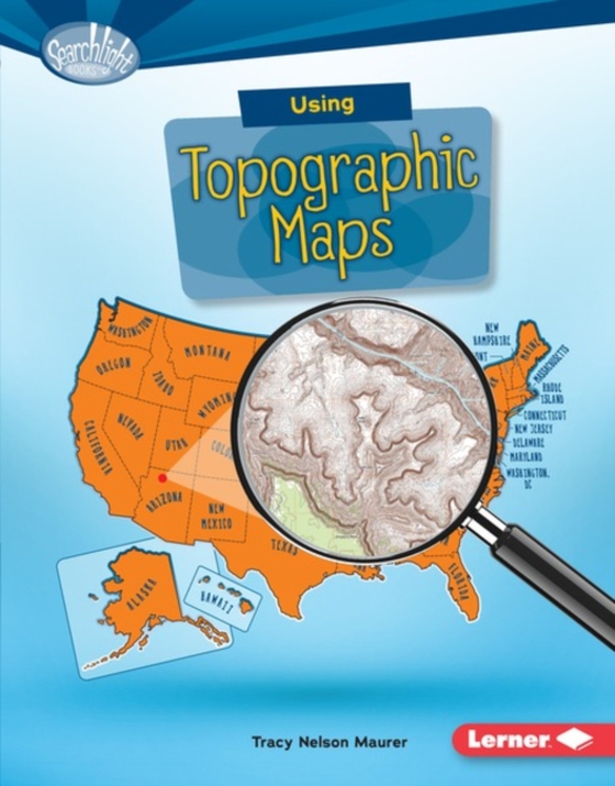
Want to know just how tall Mount Everest is? Or what the city of Denver's elevation is? Then look at a topographic map! These maps use lines to show the height and shape of Earth's surface. But how do you read the lines? And what other features do these maps have? Read on to learn the ins and outs of topographic maps!
E-bog
359,43 DKK
Forlag
Lerner Publications â„¢
Udgivet
01.08.2016
Genrer
Children’s / Teenage general interest: Places and peoples
Sprog
English
Format
pdf
Beskyttelse
LCP
ISBN
9781512410754
Want to know just how tall Mount Everest is? Or what the city of Denver's elevation is? Then look at a topographic map! These maps use lines to show the height and shape of Earth's surface. But how do you read the lines? And what other features do these maps have? Read on to learn the ins and outs of topographic maps!